
Radar
Track of aircraft seen by my trackers. Tracks in blue are interpolated between seen positions and tracks in red are interpolated between origin and destination. WARNING: actual positions may differ from reported positions. Origin and destination may have some errors too...
See the routes from my database. See the airports from my database.
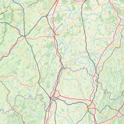
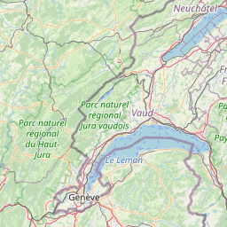
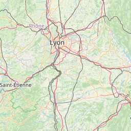
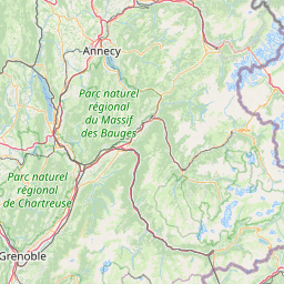
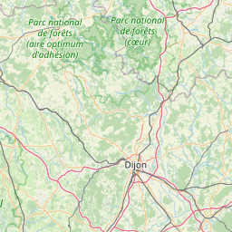
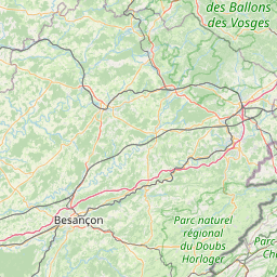
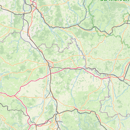
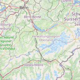
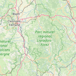
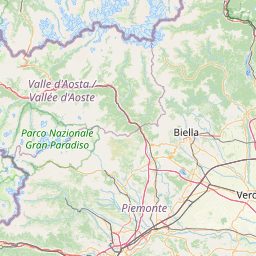
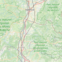
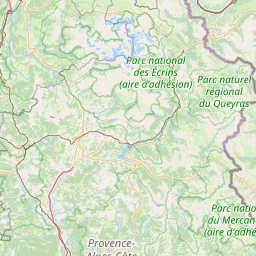
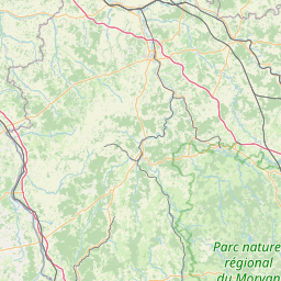
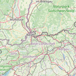
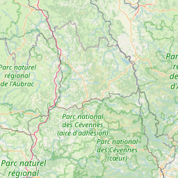
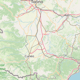

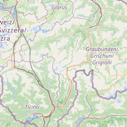
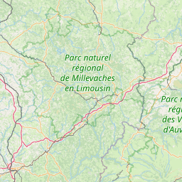
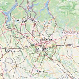
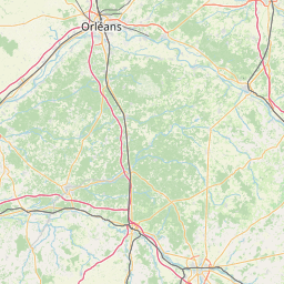
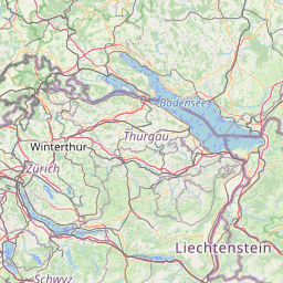
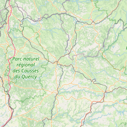
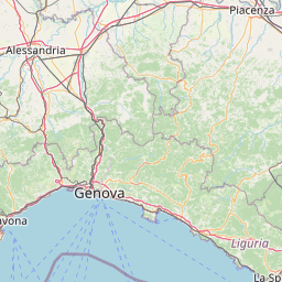

Leaflet | © OpenStreetMap contributors
| ModeS Code | Registration | CallSign | Flight Number | Aircraft | Operator | Country | Origin | Destination | Date |
|---|---|---|---|---|---|---|---|---|---|
| 8467D8 | JA13XJ | JAL8102 | JL8102 |  A359 |  JAL | Japan | Toulouse-Blagnac Airport | Unknown | 2021-11-12 |
Information provided comes from a variety of official and unofficial data sources, errors are always possible.