
Radar
Track of aircraft seen by my trackers. Tracks in blue are interpolated between seen positions and tracks in red are interpolated between origin and destination. WARNING: actual positions may differ from reported positions. Origin and destination may have some errors too...
See the routes from my database. See the airports from my database.


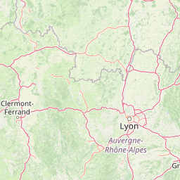
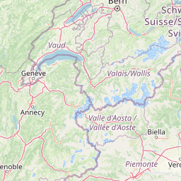


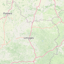
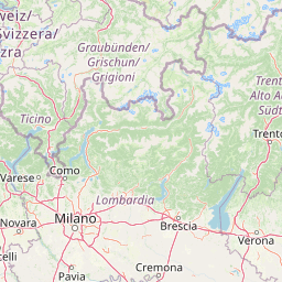


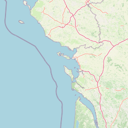
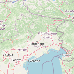
Leaflet | © OpenStreetMap contributors
| ModeS Code | Registration | CallSign | Flight Number | Aircraft | Operator | Country | Origin | Destination | Date |
|---|---|---|---|---|---|---|---|---|---|
| 407FC1 | G-WUKW | WUK99KE | Unknown |  A21N |  WZZ | United Kingdom | Unknown | Unknown | 2025-02-17 |
Information provided comes from a variety of official and unofficial data sources, errors are always possible.